TBSD60
 BSD120
 BSD98
BSD98 BSD70
BSD70 BSD60
BSD60 BSD50
BSD50 BSD217
 INS1700
 INS970
 INS570
 INS170
 SLA-4B1L1-65
 SLA-8B1L1-110
 SLA-4B1L1-130
 SLA-16B1L1-160
 SLA-8B1L1-165
 101 Vessel-mounted Positioning
 102 Acoustic Communication
 103 Tracking and Locating
 104 Diver Navigation System
 105 Intrusion Detection Sonar
 106 Delivery Locator Beacon
 SLLR3000
 SLLR905
 SLLD25
 108IMU
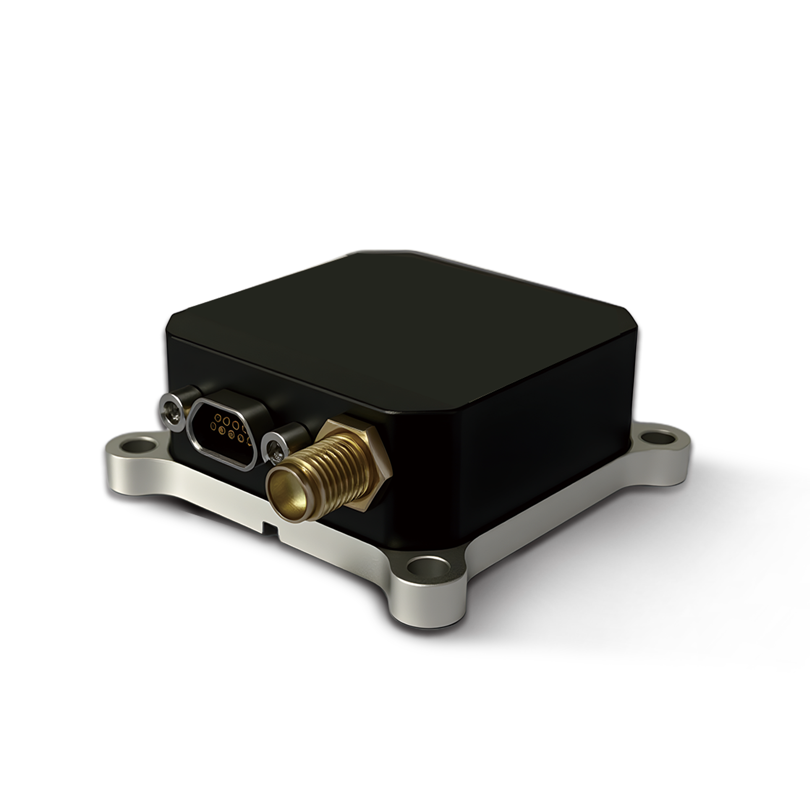 150M
150M 500MH
500MH 160M
160M 170M
170M SLFC-70
 SLAF280
 MR360
MR360
Leave Your Message
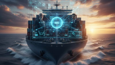
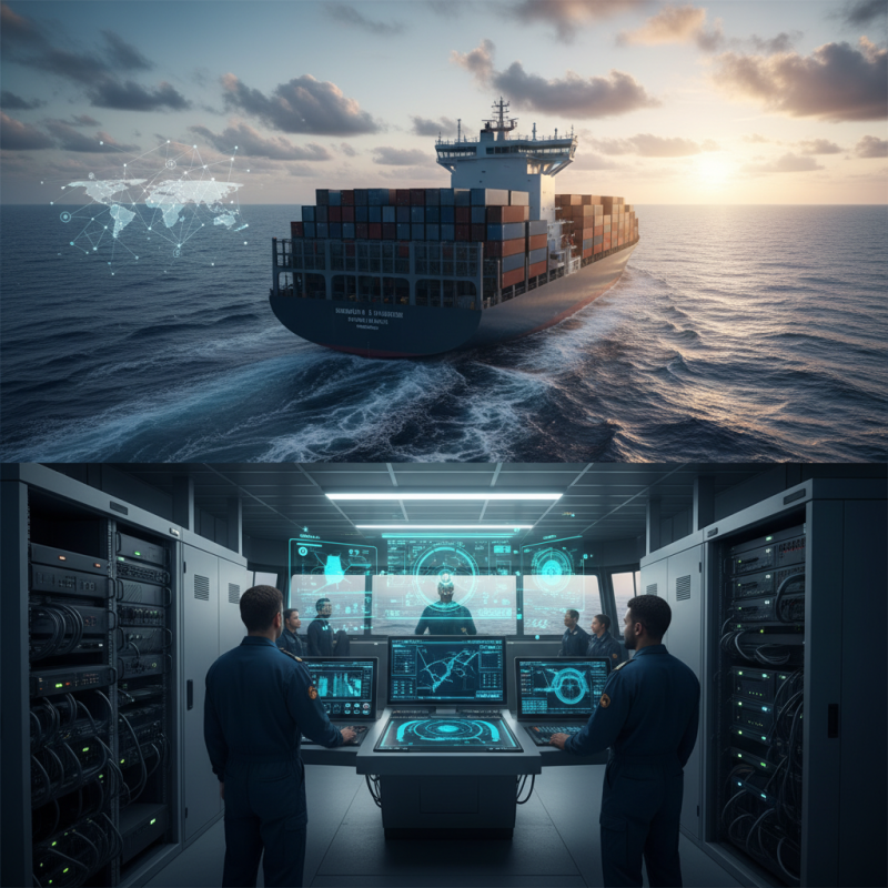
The maritime industry is going through some pretty big changes lately, mostly thanks to advances in navigation tech. Have you heard about the Marine Inertial Navigation System? It’s a game-changer when it comes to running fleets smoothly. In fact, a recent report from Market Research Future suggests that the global market for these systems could hit around $1.2 billion by 2025 — pretty impressive, right? Experts like Dr. James Thorne from Navigational Technologies keep stressing how crucial precise navigation is — saying it’s basically a non-negotiable for safety and efficiency out at sea.
In today’s world, where ships are expected to go faster and safer, this kind of tech really steps up to the plate. These systems are incredibly accurate, even when GPS signals are weak or totally unreliable — which can happen in some tough environments. But, and here’s the thing, relying on this tech isn’t completely stress-free. It requires proper training, and operators need to really understand its limitations. For example, while it helps in planning routes more efficiently, it also means folks at the helm have to stay extra alert to avoid potential issues.
Adding these systems can definitely help save fuel and cut down operational costs, but they’re not perfect — nothing is. Fleet managers need to carefully look at how these systems perform and be mindful of any potential pitfalls. As the technology keeps evolving, staying updated and being ready to adapt is key to really getting the most out of the Marine Inertial Navigation System while keeping risks in check.
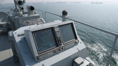
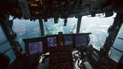
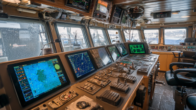
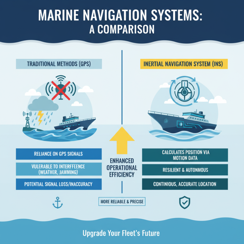
Marine inertial navigation systems (INS) offer precise navigation for vessels. They rely on accelerometers and gyroscopes to track a ship's position. This technology operates independently of external signals. It’s especially useful in environments where GPS may be unreliable, such as deep-sea or polar regions. Marine INS provides continuous and accurate positioning data.
Choosing a marine INS enhances safety and efficiency. It ensures real-time updates on vessel location and movement. This system reduces the risk of maritime accidents caused by navigation errors. Many fleet operators recognize the advantages of consistent and reliable navigation data. Training crews to operate and interpret the data from these systems is crucial for maximizing their benefits.
Tips: Regular maintenance of the INS is essential. Ensure all sensors are calibrated correctly. Operators should also stay updated on technological advancements. They can improve the accuracy and reliability of navigation systems. In a world of constant change, embracing these advancements is key to successful maritime operations. Keep an eye on emerging trends in navigation that could further enhance fleet performance.
: An INS provides accurate underwater positioning using sensors to detect motion and orientation.
It calculates position based on changes in speed and direction over time.
Accelerometers measure acceleration, while gyroscopes track rotation, creating a picture of movement.
Inaccuracies can occur due to occasional drift in measurements during operation.
Integrating GPS or other references can improve accuracy in positioning.
Operators must understand limitations and ensure regular calibration for accuracy.
They provide reliable navigation in challenging environments, enhancing safety and efficiency.
Future trends include integrating artificial intelligence and machine learning for improved accuracy.
The complexity of integrating new technologies presents challenges for operators and organizations.
Training boosts confidence and ensures optimal usage of the system in complex navigation scenarios.
The article discusses the significance of implementing a Marine Inertial Navigation System for maritime fleets. It begins by explaining the fundamentals of these systems and highlights their key advantages, such as enhanced accuracy and reliability in navigation compared to traditional methods. The workings of marine inertial navigation are elaborated upon, detailing how they integrate various sensors to provide continuous positioning even in challenging environments.
Additionally, the article explores the applications of inertial navigation in various maritime operations and examines the cost-effectiveness of these systems, making a compelling case for their adoption. Lastly, it touches upon future trends in marine inertial navigation technology, emphasizing the ongoing advancements that promise to further improve navigational accuracy and efficiency for maritime fleets. Overall, the Marine Inertial Navigation System stands out as a vital tool for modern maritime operations.